Tag: cyclonic storm

  • Cyclonic storm will wreak havoc in Sikkim today

    Cyclonic storm will wreak havoc in Sikkim today

    On the one hand, while it is raining heavily in UP, Bihar and Madhya Pradesh, on the other hand, the problems of the people are increasing due to heavy rains in the North East. Heavy rains are going to wreak havoc in the North East as well and its direct impact is going to be seen on Meghalaya, Assam, Sikkim and Tripura.

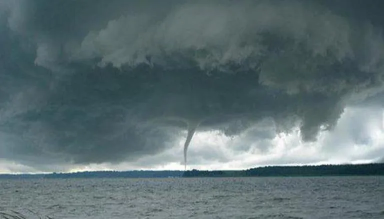
    Let us tell you that due to heavy rains in many districts of Meghalaya, a lot of problems are going to increase. A new system is becoming active in Meghalaya, due to which a storm will blow and the speed of the winds will be so fast that the problems of the general public will increase due to this. According to the senior meteorologist of Meghalaya, wind can blow at a speed of 180 km in Meghalaya.

    The direct impact of the new system to be built in Meghalaya will be seen in Sikkim as well. Because both Meghalaya and Sikkim are neighboring states, this is the reason why strong thunderstorms will be seen in Sikkim as well. Heavy rains in Sikkim can increase problems today.

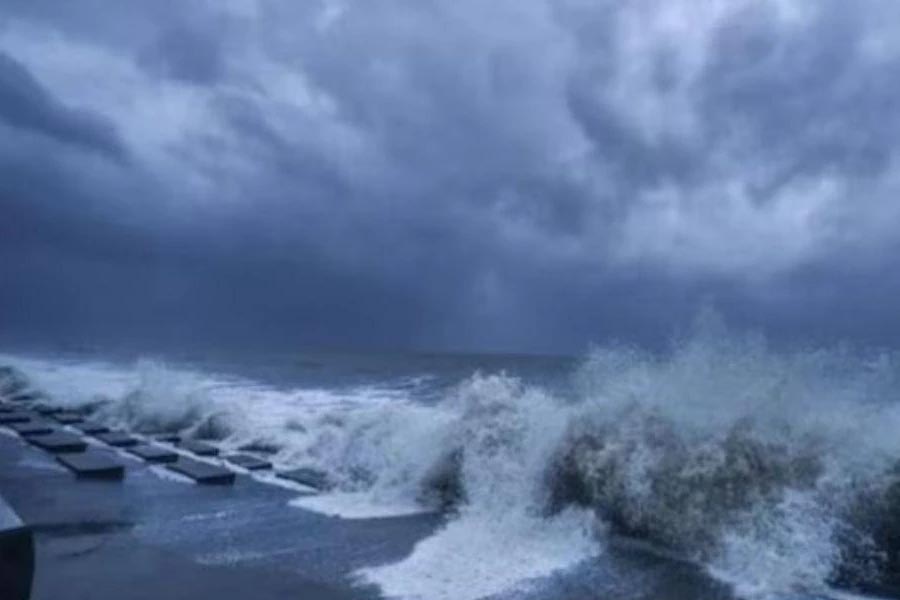
    Whereas today, gale wind speed reaching 40 to 45 kmph gusting to 50 kmph very likely over Kerala, Karnataka, Maharashtra, Gulf of Mannar, Lakshadweep area, south and central Bay of Bengal near Sri Lanka coast and Andaman Sea. It is expected to change in speed.

    In view of the above stormy winds, the Meteorological Department has issued a warning to the fishermen not to go for fishing and any kind of business related work in these areas. People have been prohibited from going to the sea shore.

  • Low Pressure Area Over Bay Of Bengal Likely To Intensify Into Cyclonic Storm On Wednesday

    Low Pressure Area Over Bay Of Bengal Likely To Intensify Into Cyclonic Storm On Wednesday

    A well-marked low-pressure area lies over the southeast Bay of Bengal and adjoining south Andaman Sea is likely to intensify into a cyclonic storm on Wednesday, the Met department said.

    The system is expected to move initially north-northwestwards till May 12 morning and later towards Bangladesh-Myanmar coasts, India Meteorological Department said on Tuesday.

    Fishermen and operators of small ships, boats and trawlers are advised not to venture into the southeast and adjoining central Bay of Bengal from Tuesday.

    The weather office also asked those who are over the east-central Bay of Bengal and north Andaman Sea to return during the day.

    “The well-marked low-pressure area over southeast Bay and Bengal and adjoining south Andaman Sea is very likely to intensify into a depression by today evening and subsequently into a cyclonic storm over southeast Bay of Bengal and adjoining areas of east-central Bay of Bengal and Andaman Sea on May 10,” the IMD said in a bulletin.

    Light to moderate rainfall at most places with heavy to very heavy precipitation at isolated places is likely over Andaman and Nicobar islands from Tuesday to Thursday, the Met department said.

    In Kolkata the discomfort level persisted on Tuesday.

    An IMD statement said the city experienced maximum 38.5 degrees celsius and a minimum of 29.5 degrees. The temperature in south Bengal districts hovered round 38-40 degrees celsius and will remain so in the next 24 hours.

    The maximum humidity was 84 per cent in the city and its neighbourhood.

    IMD, Deputy Director, East, Sanjib Banerjee said the temperature is expected to rise further on Wednesday before the system moves forward and rains begin.